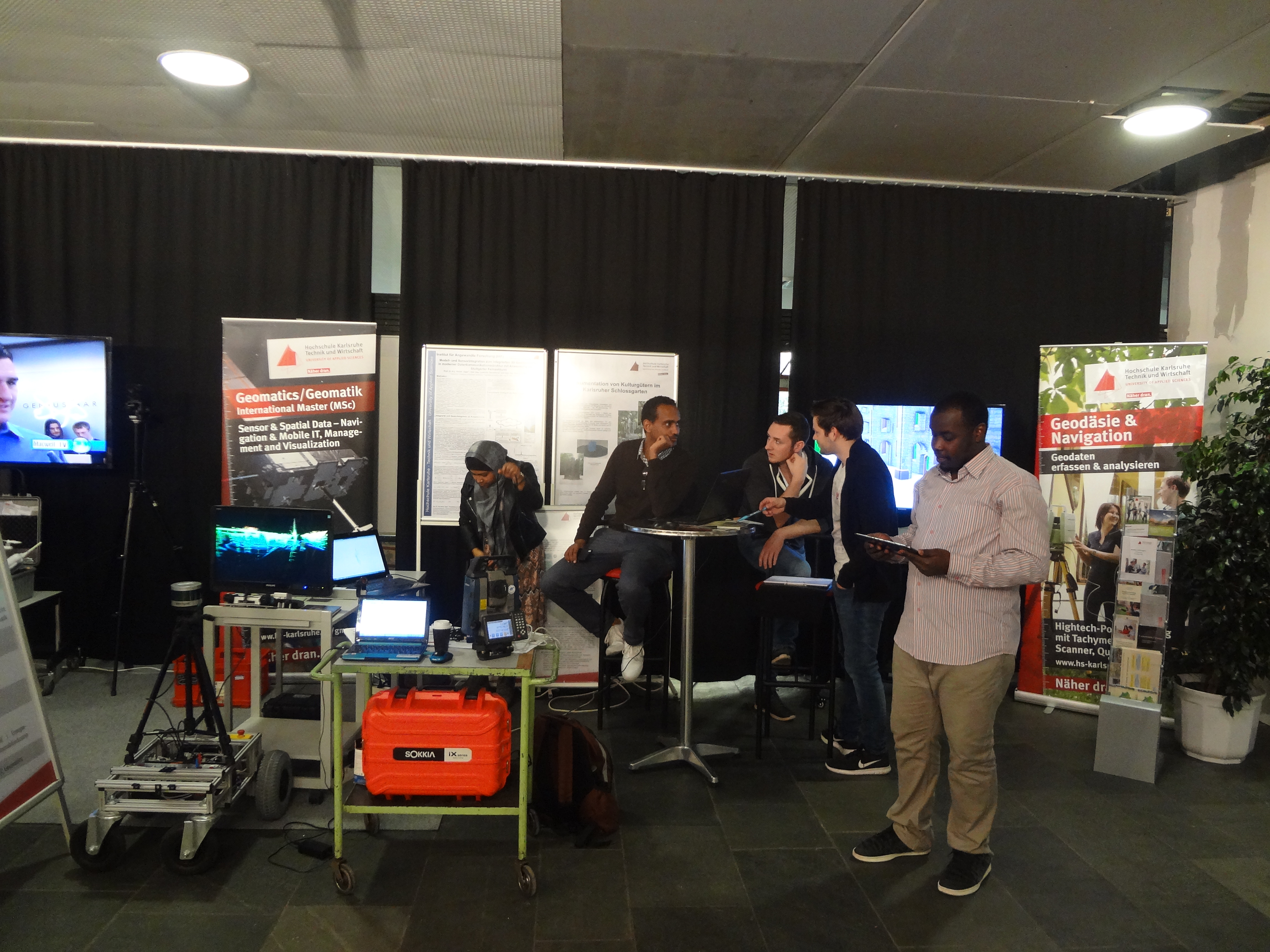
Exibition of BW Center of Applied Research
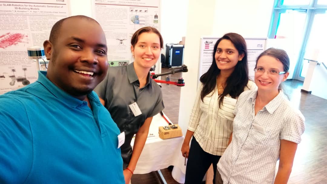
On 25th of July 2018 Laboratory of Navogation and GNSS participated in event, organized by Center of Applied Research of Baden-Württemberg region. The Exebition was organized in Stuttgart in order to present the most progressive and modern developments and research projects from all centers of applied research in the region. General information about the event can being found via following link:
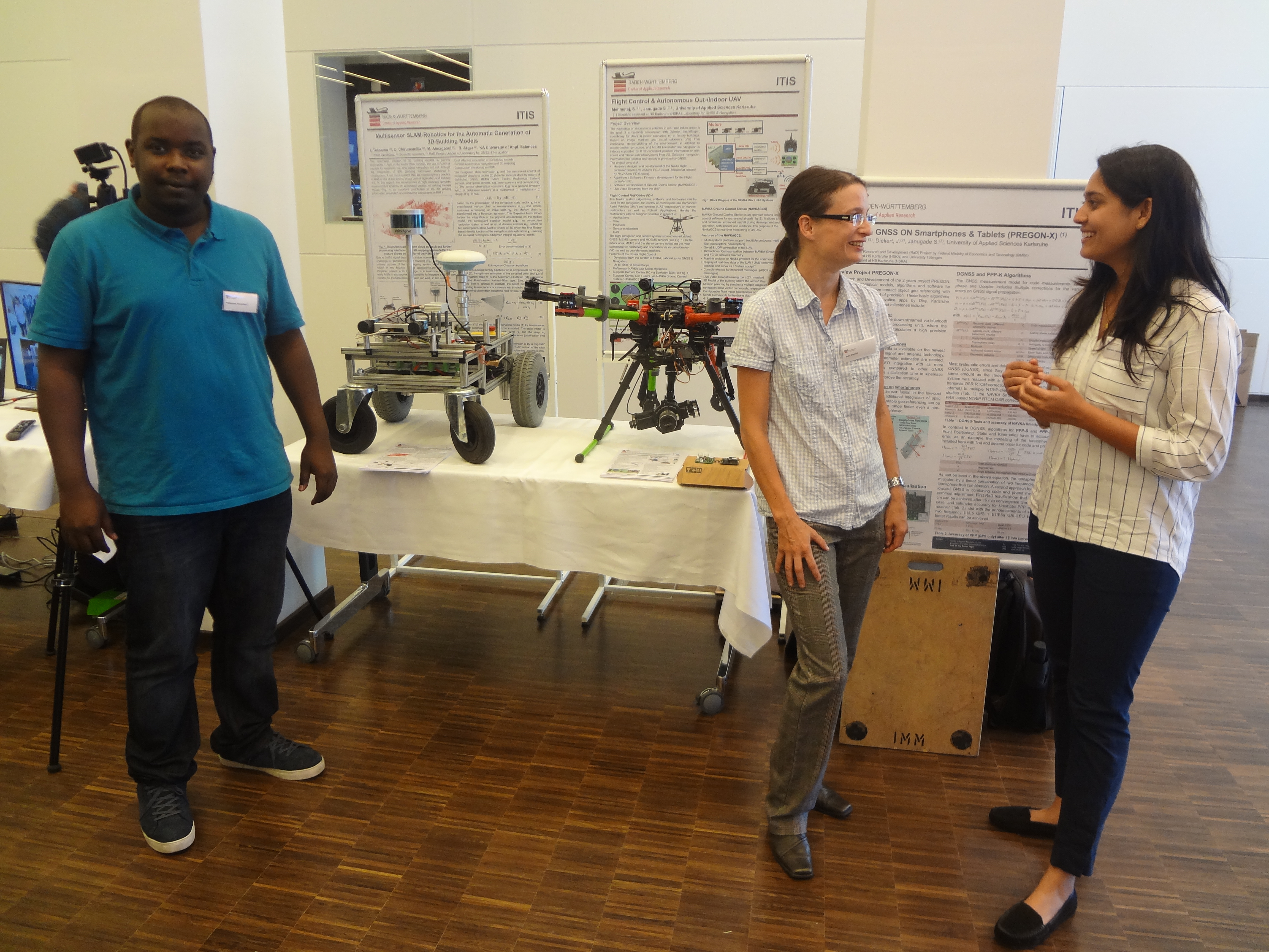
In a frame of this event Laboratory on Navigation & GNSS has presented all its active projects, such as:
1. Gravity field & Quasi-Geoid Determination based on a Zenith Camera as Intelligent System for Vertical Deflection Determination. Link to the poster:
2. Integriertes Geomonitoring mit Modellbildug am Referenzobjekt Fernsehturm Stuttgart. Link to the poster:
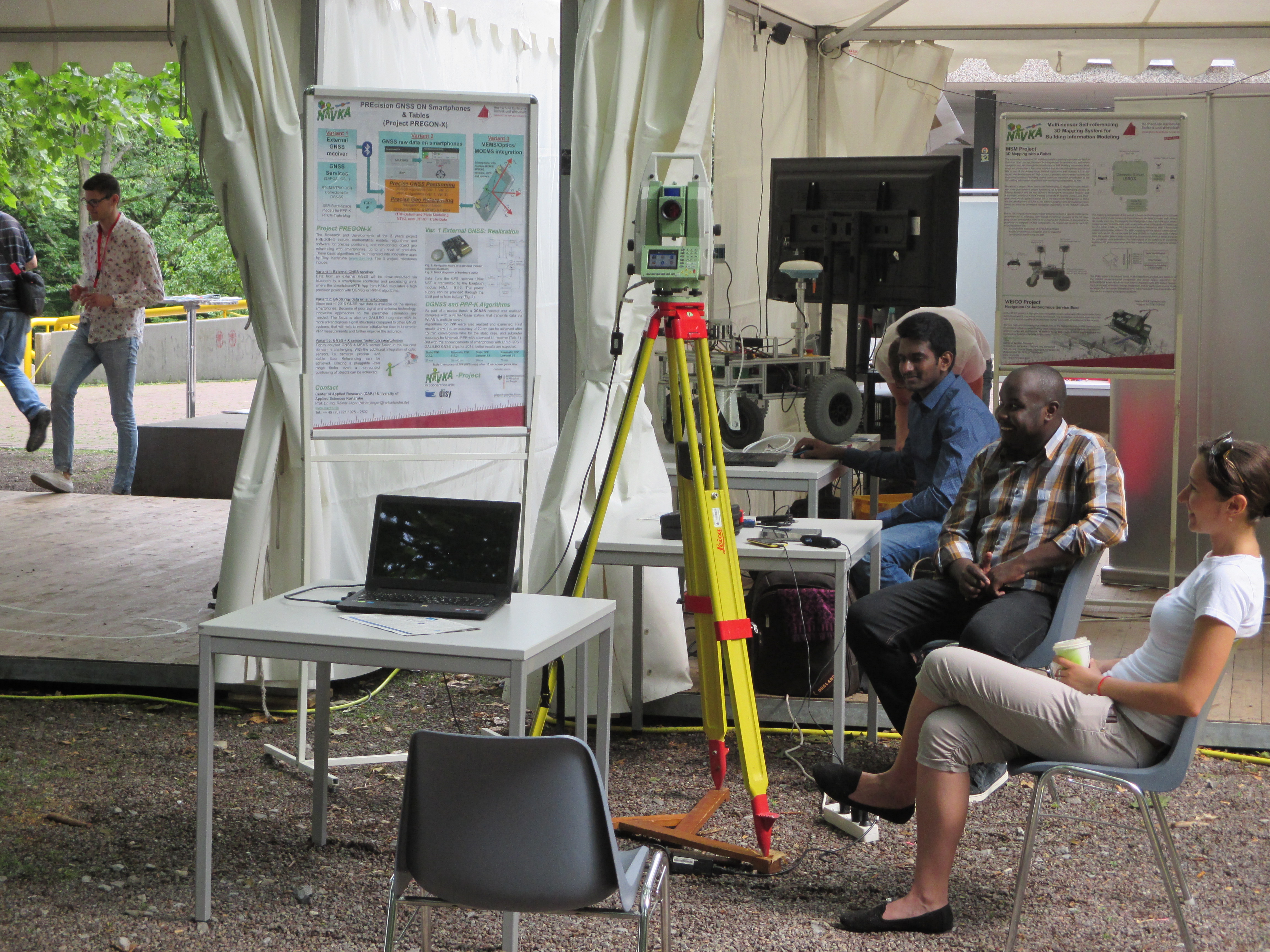
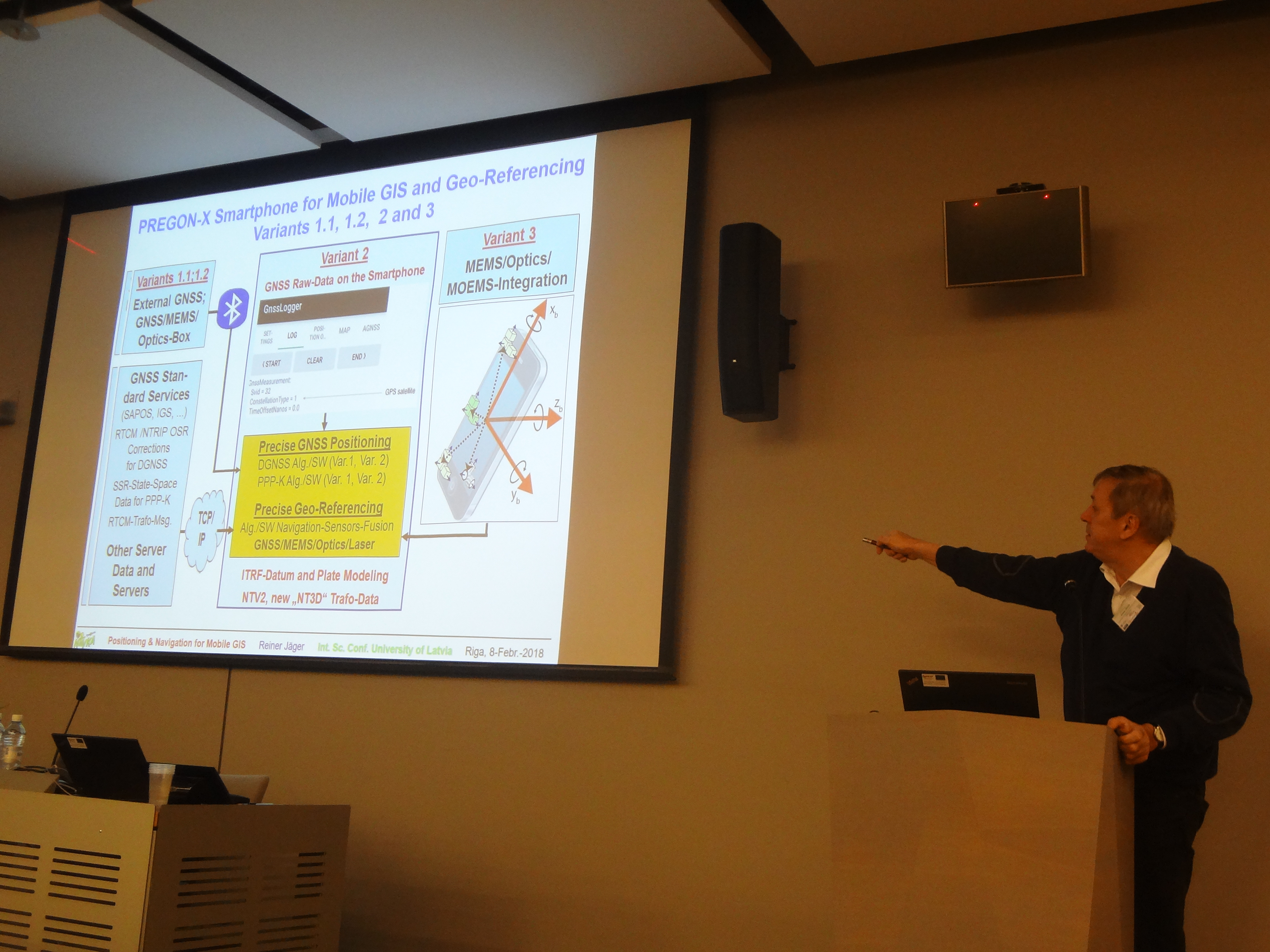
3. PREcision GNSS ON Smartphones & Tablets (PREGON-X). Link to the poster:
4. Flight Control & Autonomous Out/Indoor UAV. Link to the poster:
5. Multisensor SLAM-Robotics for the Automatic Generation of 3D-Building Models. Link to the poster:
 |
 |
The Campus Day in HSKA on 9th June 2018
 |
InterExpo Geo-Siberia 2018
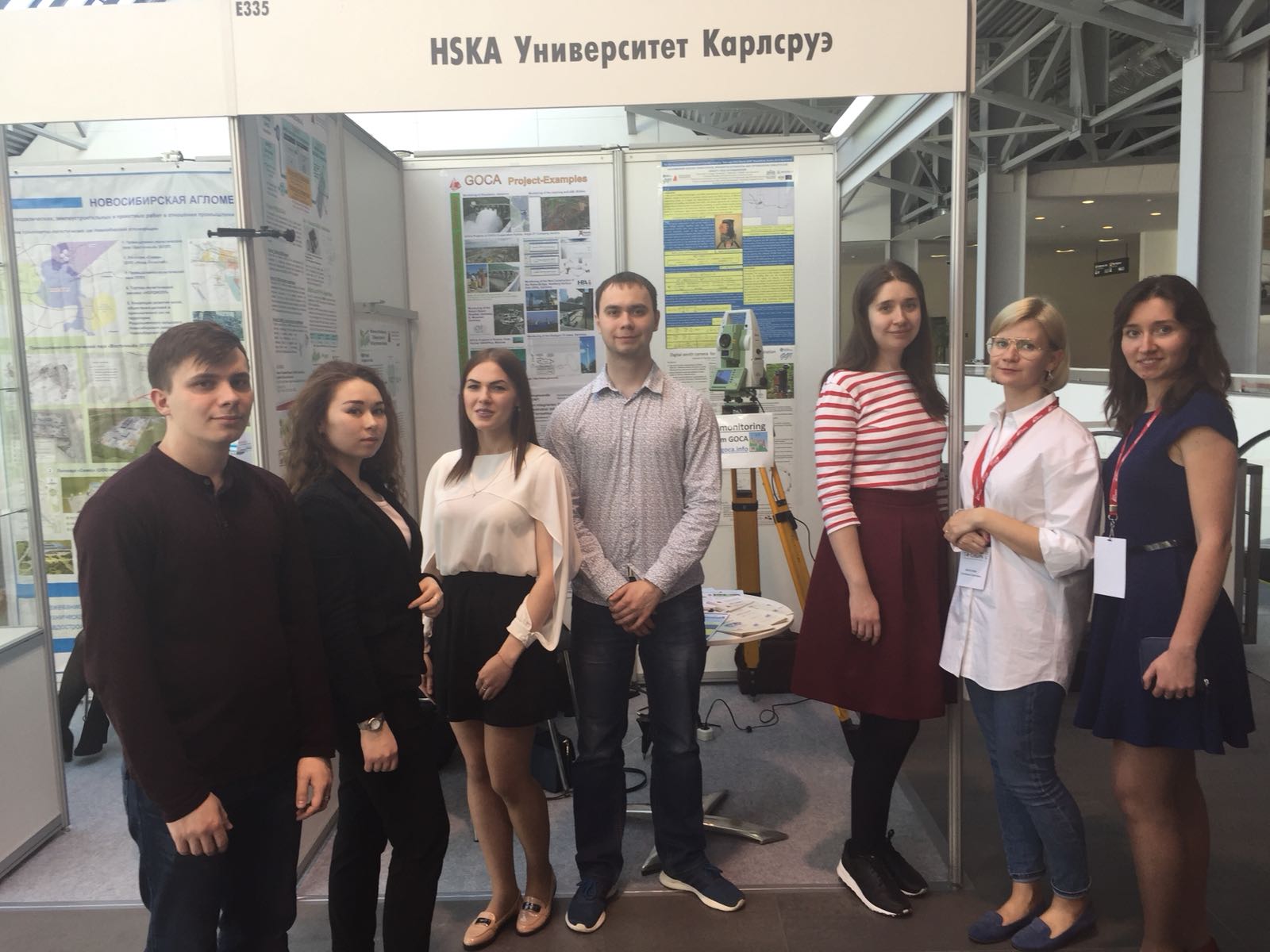
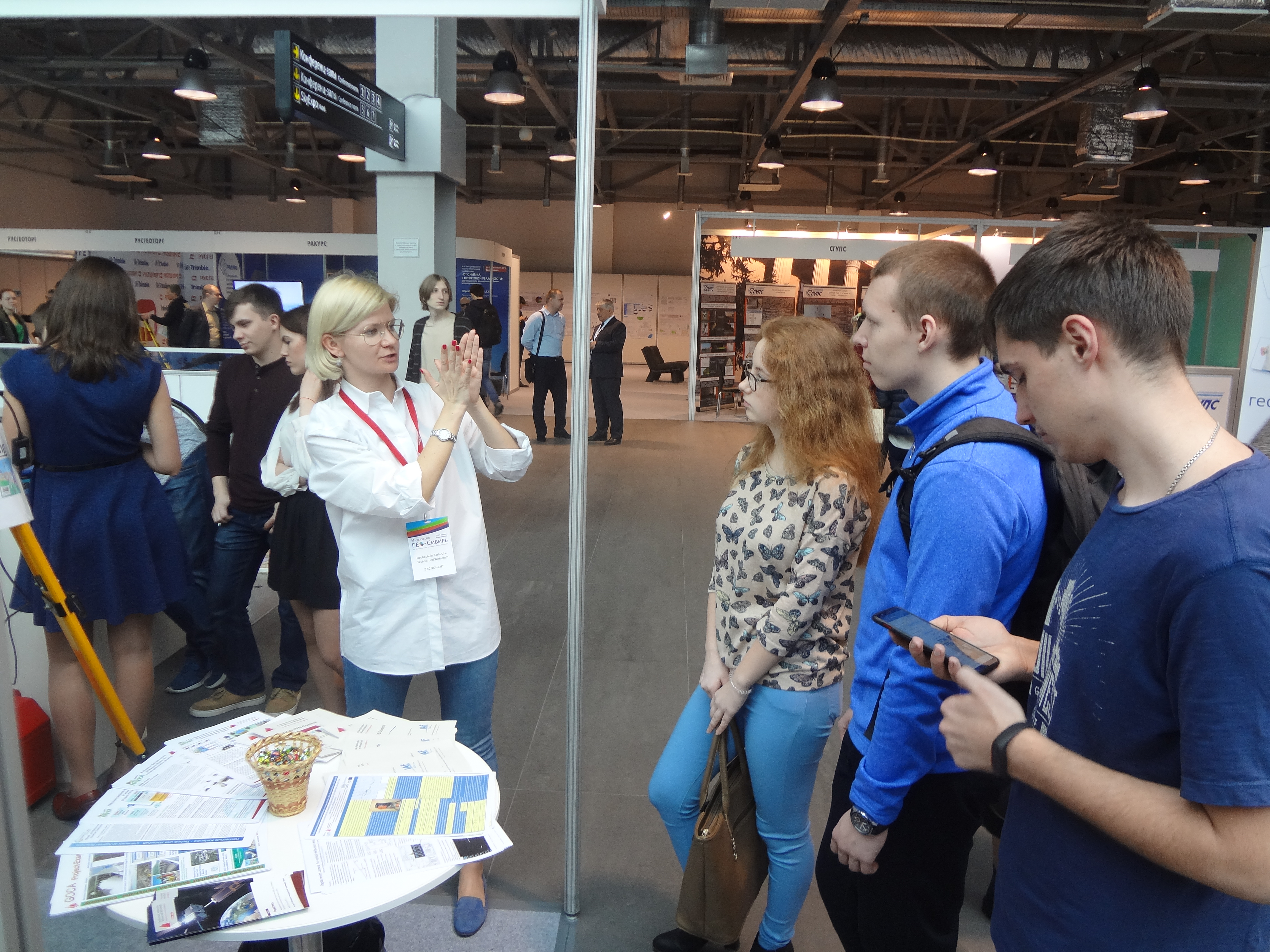
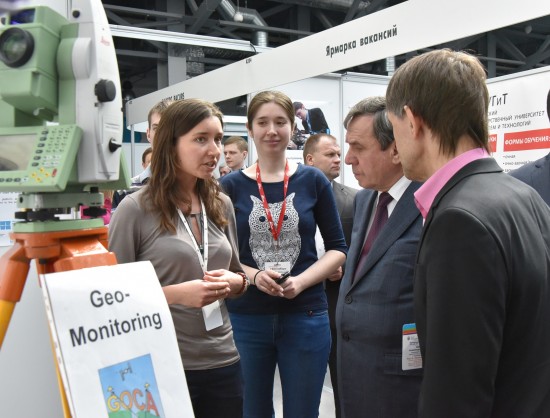
On 25-27 of April laboratory of Navigation and GNSS again took part in International exhibition and conference InterExpo Geo-Siberia 2018 in Novosibirsk (Russia). In a frame of the 9th conference “Early warning and crises management in the big data era” PhD candidate at University of Latvia, Riga Technical University & University of Applied Sciences Karlsruhe, Katerina Morozova, has presented the report “QGeoid Computation for Ulaanbaator Region and Parameter Estimation and Optimization Concepts for Integrated Gravity Field Determination with Zenith Camera, Gravity and other Hybrid Data”. As usual the main part of the participation was based on the booth of the laboratory, presenting the last results of the developments in respect to geodetic RaD projects on SatNav&MIT and GNSS/MEMS/MOEMS navigation-platform algorithms, flight control for scalable UAV and manned volocopters, on geodetic infrastructure for GNSS-Services and on geomonitoring.
 |
|
Working team of the HSKA booth on the Interexpo Geo-Siberia 2018 |
 |
|
Work of the booth on the Interexpo Geo-Siberia 2018 |
 |
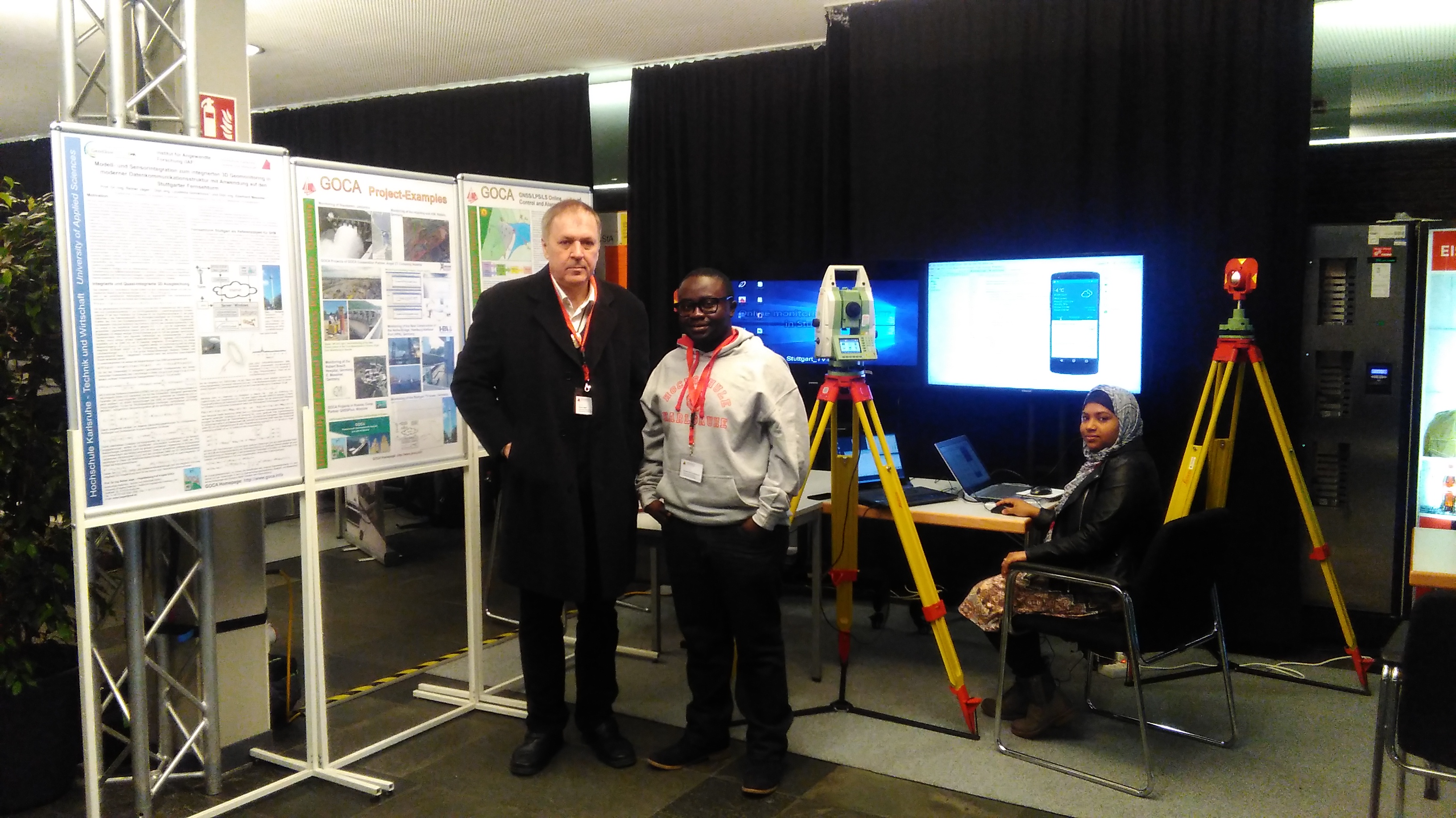 |
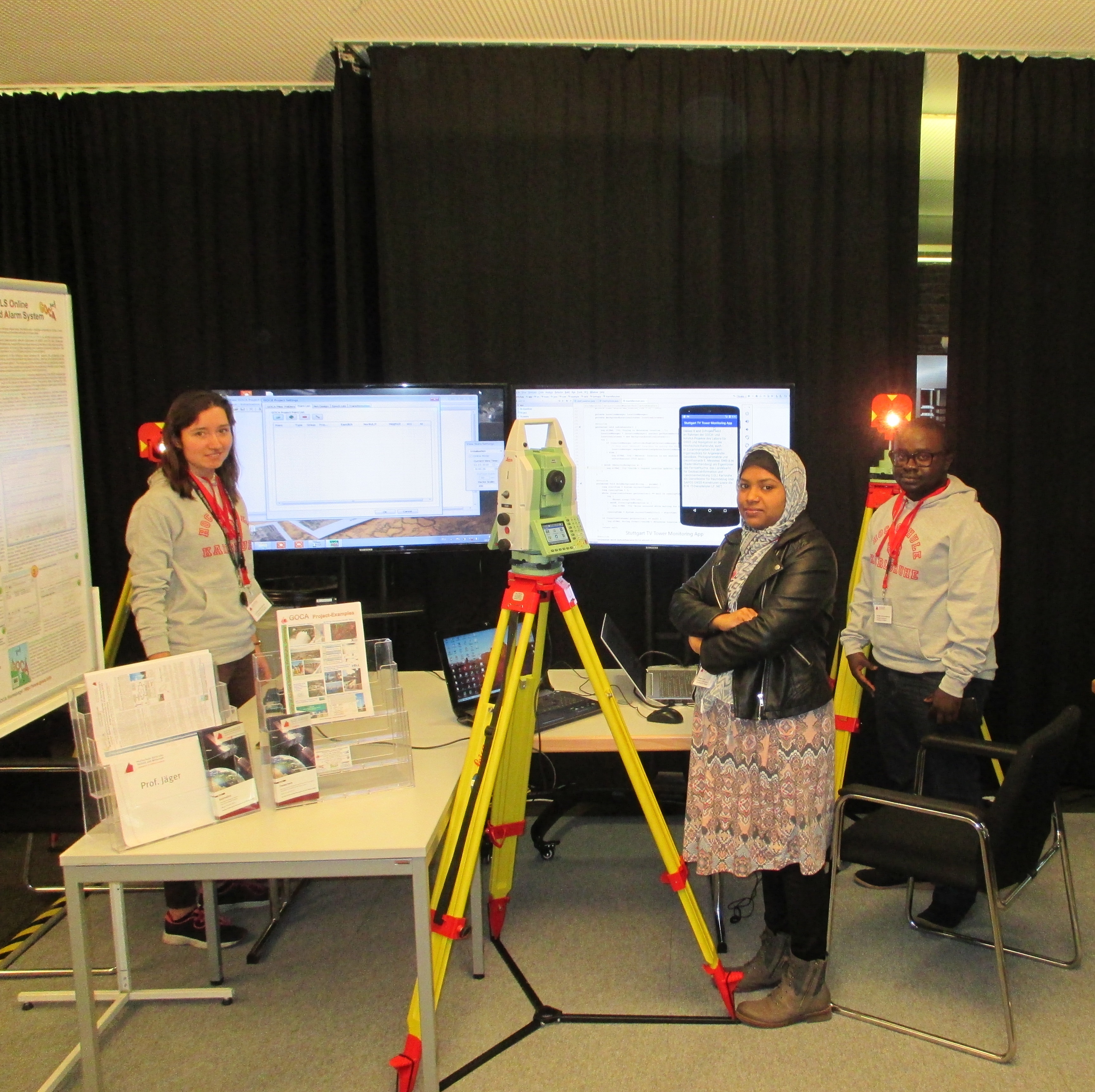
GOCA team on the exhibition of the present developments in HSKA on inauguration of the new rector |
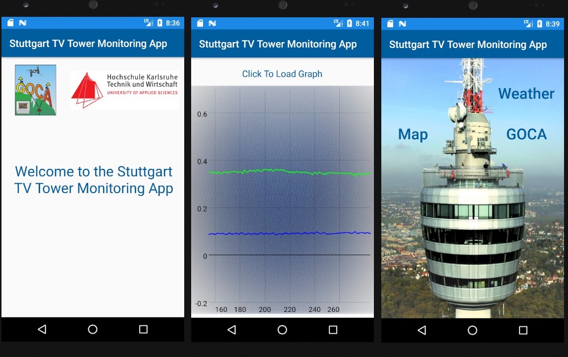 |
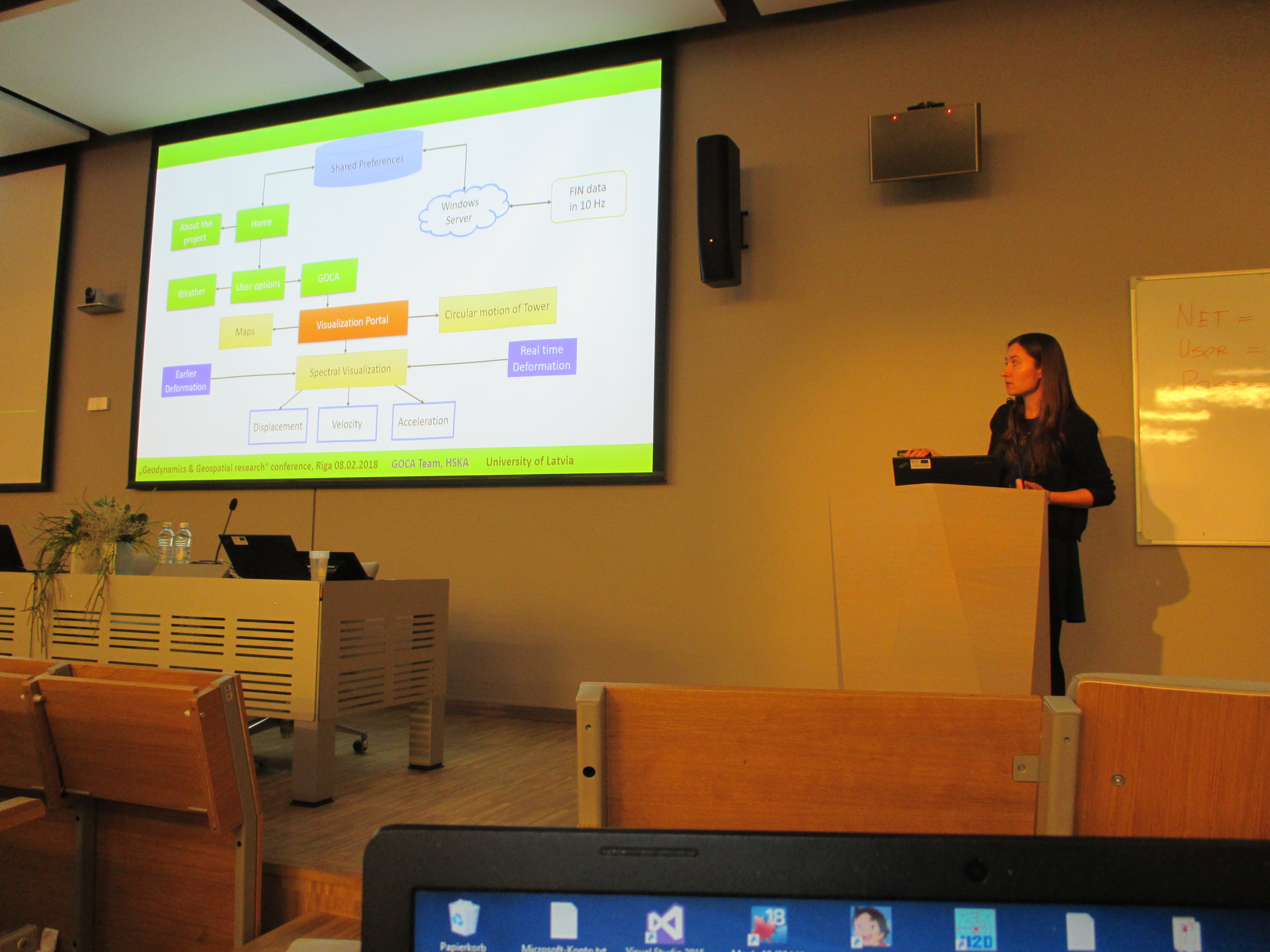
Design of the Android App for visualization of movement of Stuttgart TV tower |
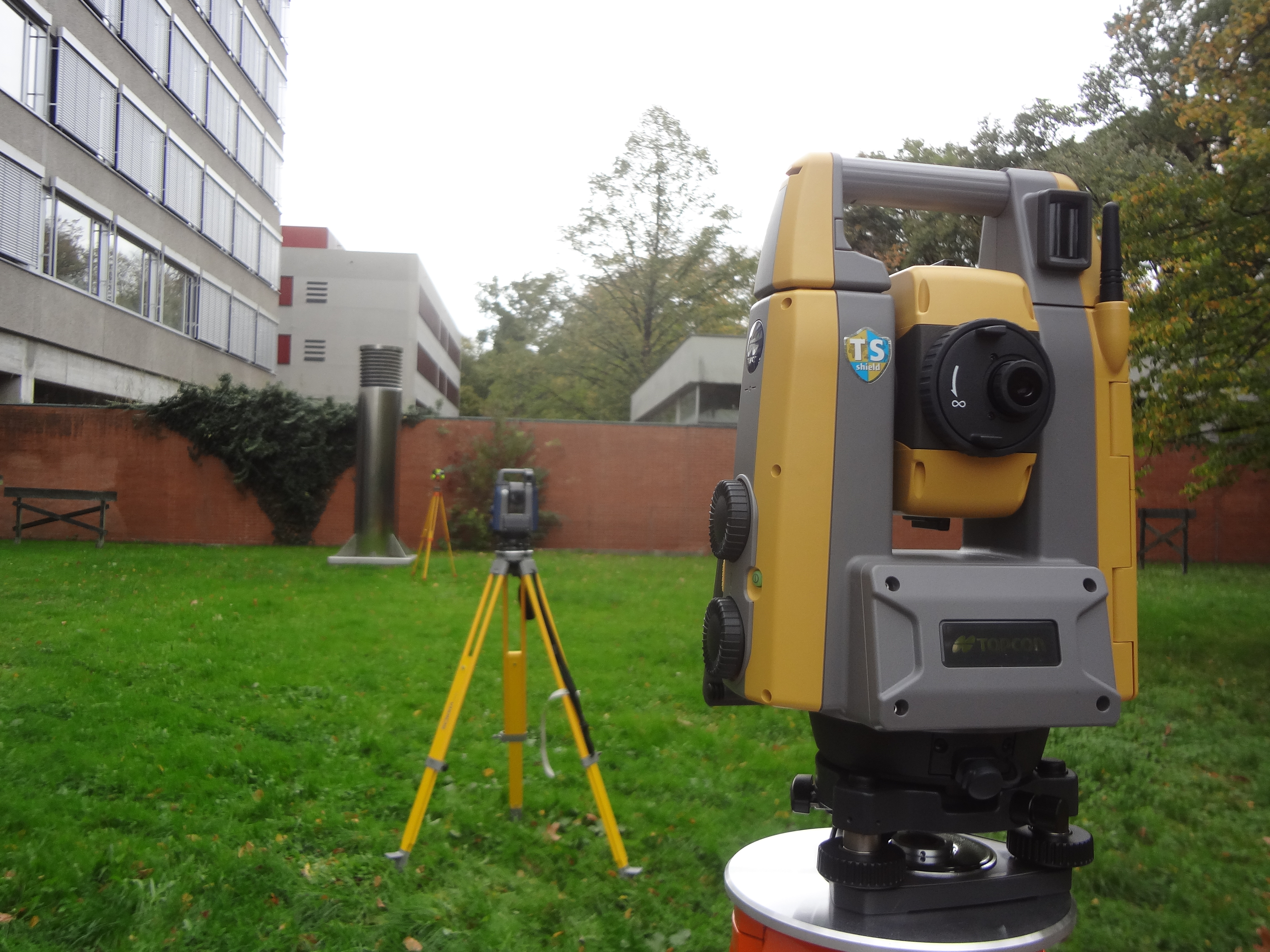
Independent tests of the new Sokkia iX1001 and Topcon GT-1000 ATR totalstations (TPS)
From September to October 2017 the evaluation of new Sokkia iX-1001 and Topcon GT-1001 total stations was done in the HSKA Laboratory on GNSS and Navigation . As a result of the large-scale tests on indoor and outdoor conditions all attributes on quality and accuracy of both stations could be confirmed. The integration of the above new total stations and the online geomonitoring system GOCA was done in that frame and achieved on a 100% functionality. So, both geomonitoring sensors, Sokkia iX-1001 and Topcon GT-1001 ATR, can be used as GOCA-system components for the geomonitoring of any kind of object.
 |
Conference in Riga
On 8th of February 2018 in a frame of International conference of University of Latvia "Geodinamics & Geospatial research" the laboratory of Navigation & GNSS Technologies has presented two reports with the most actual developments in direction of geomonitoring and navigation tasks. Prof. Dr.-Ing. Reiner Jäger gave a report with topic "Geodetic challenges on positioning & navigation for mobile GIS presented along the NAVKA-Disy project PREGON-X". The second report was presented by master student and GOCA project assistant Dipl-Ing. Lyudmila Gorokhova. The topic of the report is "Model- and Sensor-Integration for an Integrated 3D geomonitoring in a modern data communication structure with applications to the Stuttgart TV tower". The participation in a conference has allowed to organize useful experience exchange and find new possibilities for the further cooperation with international colleagues. The laboratory of Navigation and GNSS Technologies expresses its gratitude to the latvian partners for the invitation to participate in such significant and interesting event!
 |
 |
The Campus day in HSKA on 22nd of November 2017
 |
Master class for students on the University rooftop
On 23rd of June 2017 in a frame of study plan a master class of satellite geodesy for students from University was orginized. The laboratory of navigation and GNSS technologies has the whole process of geomonitoring, based on the example of system using u-blox receivers, presented. The students could get the experience in real work with equipment and see the chain of data processing and results analysis.
 |
On 19-21 of April laboratory of Navigation and GNSS Technologies again took place in International Exibition InterExpo Geo-Siberia 2017 in Novosibirsk (Russia). This exhibition was the 13th, where following the tradition the online geomonitoring process based on the GOCA system and other actual projects (NAVKA, DFHBF) were represented. In a frame of COST EFFECTIVE POSITIONING AND GEO DATA SEMINAR, organized by FIG, the Laboratory has presented the new project for geomonitoring of TV tower in Stuttgart.
 |
|
 |
|
 |
|
|
2nd International Workshop in Stuttgart
|
|
|
18. International Geodetic Week Obergurgl Presentation of the new GOCA-Version 5.1
|

|
|
|
|
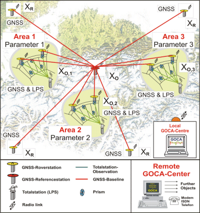
Present GOCA-Developments:
-
GOCA Software Version 5.1 (GNSS/LPS/LS available)
Sensor-Versions:
- GNSS-Sensors (RTK, near-online-processing
- TPS-Sensors (total stations, levellings, hydrostatic levels)
- local 1D-Sensors (pressure sensors, temperature sensors)
or any combination of these sensors.
-
System-analysis based modelling (research and application)
Present Application and Research Projects
-
Geomonitoring Hauptbahnhof Wien Neubau, Firma Angst, Wien.
-
Geod�tisches Geomonitoring Neubau der Rethe-Hub-Br�cke, HPA Hamburg
Offers:
-
Installation of a GNSS/LPS/LS-based online Control and Alarm System (GOCA). Testinstallation, rental, sale.
-
Remote controlling of installed GOCA-Systems.
-
Consultation concerning monitoring-projects in the domains of geodynamics, geology, geotechnics and constructions (dams, locks, etc.).
-
Sensor recommendations.
Interesting Links:
-
GeoZilla. Geomatics Solutions and Software.
-
DFHRS (Digitale Finite Element Height Reference Surface)
-
GEOsens Ingenieurpartnerschaft Krause, Schulze & Udri. External cooperation partner in the GOCA-Project.
-
ACT (Automatic Control of Tracks).