GOCA-модули
GOCA-Modules
Alarm and Alarmsoftware
Alarm when critical states and / or statistically significant deformation is reached. Predefined alarm plan (SMS, Email) or array control (siren, beacon).
Open Interface: ALR files (based on FIN, KAL, SHT and VHS-Estimation)
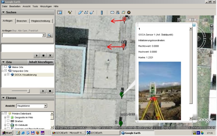
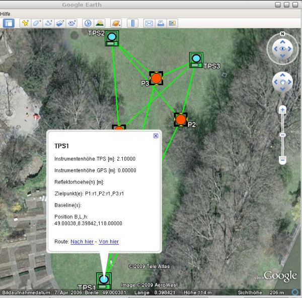
GoogleEarth-Visualisation
Visualisation of deformation arrays (stable points, object points) in GoogleEarth™. Online and postprocessing visualisation of deformation states with interface to the FIN-, KAL- and SHT-Files. Deformationanalysis files in GoogleEarth™. Sensorpicture presentation with tables for the sensor position and the current deformation state (FIN, SHT, KAL) by mouseclick on the point symbol.

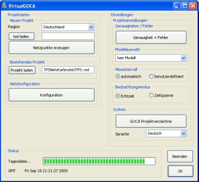
The GOCA moduel virtualGOCA creates in given sampling rates the
observation data (GNSS, terrestrial TPS, levelling and hydrostatic levelling)
for a virtual Geomonitoring array, which is designed in GoogleEarth.
The network information is provided als kml-file from Google-Earth. Using the
geographical latitude and longitude, a digital terrain model, as well as a
geopotential model the 3D point-positions as well as the direction of the
vertical can be evaluated. Based on the observation equations of a
three-dimensional integrated network adjustement, the above mentioned GNSS and
LPS sensor-data are created and provided by the open GOCA GKA-data interface.
VirtualGOCA can be used due to its generally and clearly defined
GKA sensor-data interface for the validation
and testing of any Geomonitoring-software, as well as for an a priori planning
of the design of Geomonitoring arrays and their sensitivity for the detection of
deformations. VirtualGOCA will be presented on the Symposium
"Ingenieurvermesung 2010".

